Skip to content

Experience You Can Build On.

Professional surveying, mapping, and geospatial services supporting transportation, infrastructure, private development, and complex property matters throughout Florida.

90+

Years Combined Experience

FDOT

Prequalified

Florida

Small Business Enterprise

LB8664

Professional Surveying & Mapping Business

Professional Experience.
Personal Service.

Point of Beginning Surveying & Mapping, Inc. (POB) is a Florida-based professional surveying and mapping firm serving public agencies, engineering and architectural firms, developers, contractors, utilities, attorneys, and property owners.

Led by experienced professionals with more than 90 years of combined surveying experience, POB provides the technical capabilities needed for complex assignments while maintaining the responsiveness, accessibility, and personal attention clients expect from a trusted consultant.

Our work spans transportation and infrastructure, private development, right of way, condominium documentation, geospatial services, and complex property matters.

Experienced Leadership. Responsive Service. Reliable Results.

Senior professionals remain directly involved in project execution, client communication, and quality review.

Core Services

Comprehensive surveying, mapping, and geospatial support for public and private projects.

Transportation & Infrastructure

Roadway, bridge, drainage, utility, municipal, and public infrastructure surveying.

Boundary, ALTA/NSPS & Topographic

Property, title, due diligence, design, and development surveying.

Right of Way & Control Mapping

Control networks, right of way mapping, maintenance maps, parcels, and acquisitions.

As-Builts

Layout, control, settlement monitoring, verification, and final documentation.

Land Development & Platting

Subdivision, entitlement, easements, legal descriptions, and development support.

Condominium Surveys & Documentation

Preliminary and final condominium exhibits, unit graphics, and area calculations.

LiDAR & Geospatial Services

Terrestrial scanning, LiDAR, point clouds, GNSS/GPS, and geospatial mapping.

Expert Witness & Litigation Support

Professional analysis, exhibits, research, opinions, and testimony for complex property matters.

Markets We Serve

Experience across the public and private sectors gives POB a practical understanding of how survey information is used throughout a project lifecycle.

PUBLIC INFRASTRUCTURE

FDOT, municipalities, counties, utilities, and transportation agencies.

PRIVATE DEVELOPMENT

Commercial, residential, mixed-use, high-rise, and condominium projects.

PRIVATE CLIENTS

Contractors, developers, and owners from initial control through final as-builts.

LEGAL & PROPERTY

Attorneys, property owners, eminent domain, boundary matters, and expert witness assignments.

Why POB?

Experienced Leadership

Senior professionals remain directly involved in project execution and quality review.

Responsive Service

Accessible project leadership and clear communication throughout the assignment.

Quality at Every Level

Professional oversight, documented QA/QC, and careful review of deliverables.

Technology With Purpose

Conventional surveying, GNSS, LiDAR, scanning, and geospatial tools selected for project needs.
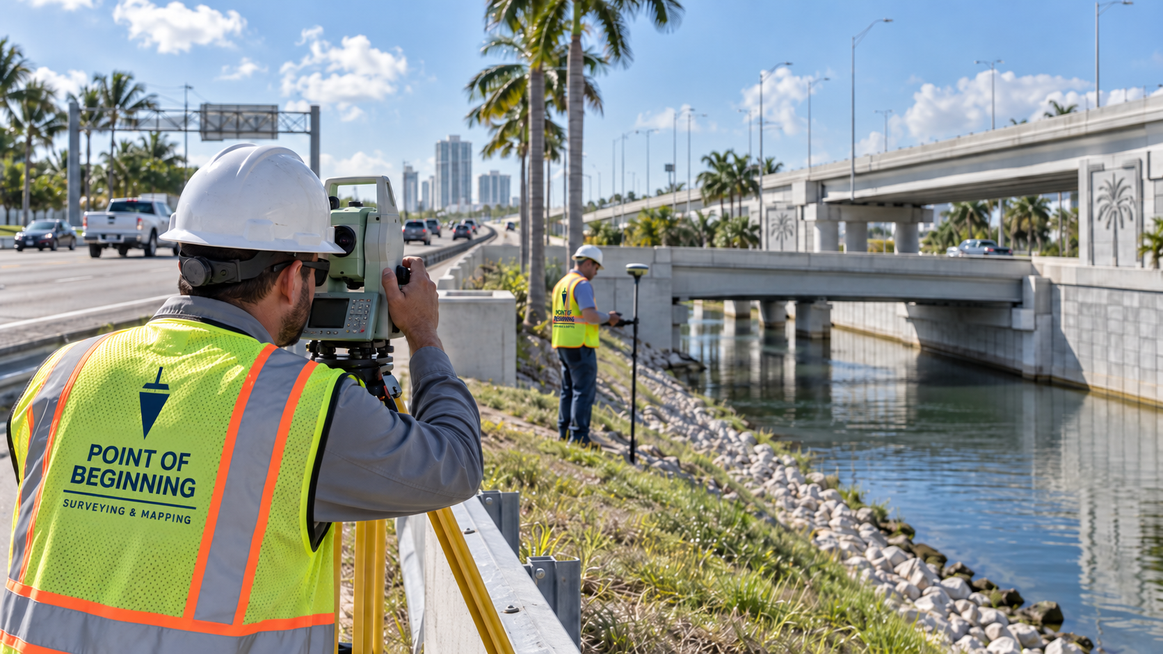
Survey crew working along South Florida transportation infrastructure

Experienced in FDOT Surveying & Mapping

POB is prequalified by the Florida Department of Transportation in three surveying and mapping work groups. Our leadership has extensive experience managing and supporting FDOT continuing services and project-specific assignments throughout South Florida.

8.1 — Control Surveying

8.2 — Design, Right of Way & Construction Surveying

8.4 — Right of Way Mapping

Leadership With Experience Across the Project Lifecycle

POB is led by professionals with complementary experience across transportation, development, construction, mapping, and complex property matters.

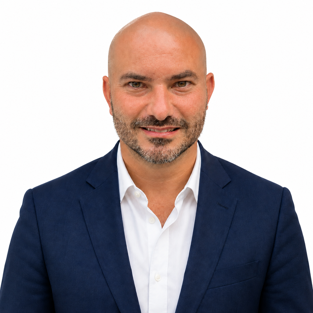
John A. Liptak, PSM

John A. Liptak, PSM

Director

Transportation · Right of Way · Control · Municipal Infrastructure · QA/QC

Michael Mike Bartholomew, PSM

Mike Bartholomew, PSM

Director

FDOT · Development · Condominiums · Expert Witness · Property Matters

Denis A. Denis, PSM, PE

Denis A. Denis, PSM, PE

Director

Transportation · Infrastructure · Private Development · Program Management

Featured Experience

Experience across infrastructure, development, geospatial technology, and complex property matters.

Survey crew working along South Florida transportation infrastructure

Transportation & Infrastructure

Public-sector and corridor surveying experience.

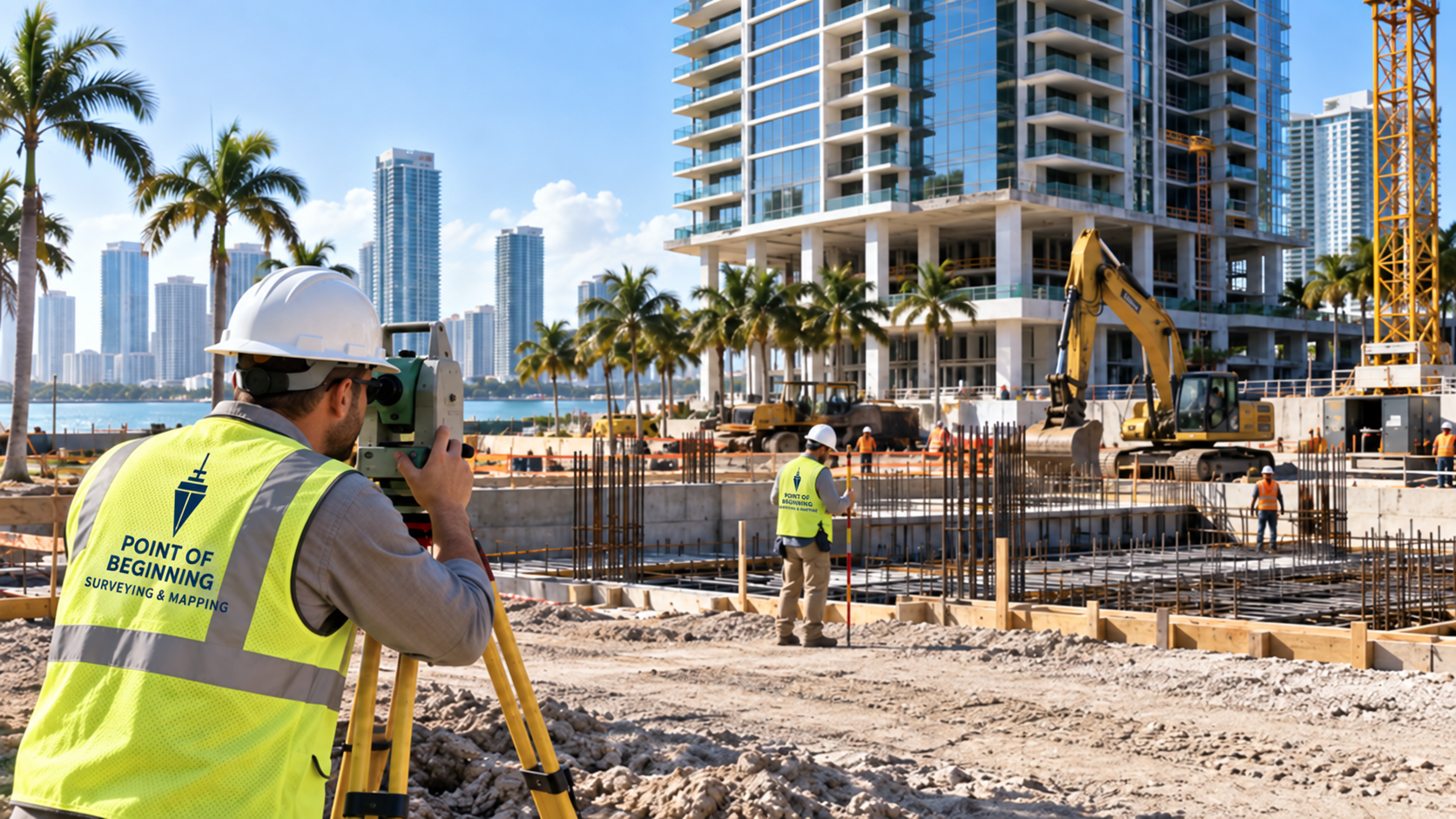
Survey crew supporting a South Florida high-rise development

Private Development

Mixed-use, high-rise, and condominium experience.

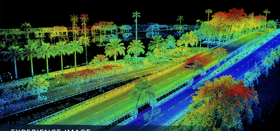
LiDAR point cloud visualization

LiDAR & Geospatial

Modern spatial data collection and point-cloud workflows.

Expert witness and property matter illustration

Complex Property Matters

Boundary research, expert witness, and litigation support.

Have a Project We Can Help With?

Tell us about your project and schedule. One of our experienced professionals will contact you to discuss the appropriate surveying services.

Point of Beginning Surveying and Mapping logo

Point of Beginning Surveying & Mapping, Inc.
631 Lucerne Avenue, Suite 110
Lake Worth Beach, FL 33460
(561) 922-5314
Contact@POBSurvey.com

Florida Professional Surveying & Mapping Business — LB8664

FDOT Prequalified · Florida SBE

Home · About · Services · Experience · Contact